Satellite imagery from more than one supplier, in a single search.
Down to 30 cm imagery from several commercial providers, behind one API and one STAC format. Sign one licence which decides what you can search and download, and let the platform enforce it.
Every line here is a real satellite on its true orbit, and its imagery reaches you through Data Sphere.
- Searchable now
- Open data
Your licence sets your permissions
On most marketplaces the licence is a document you agree to, and you have to manage.
In Data Sphere, the legal framework is embedded into the platform's code.
If your agreement covers commercial use only, imagery licensed for other uses never reaches your results, and nobody has to remember the terms.
Your licence agreement
- Tier
- Commercial
- Suppliers
- Orbview, Copernicus
- Signed
- 14 September 2026, electronically
- Fingerprint
- sha256 9f2c…a71e
- The agreement is signed12 scenes found
- Your entitlement is confirmedOrbview and Copernicus
- The use falls within your licence tier4 withheld
- The terms match the signed document8 shown
Results for your search
8 scenes licensed for commercial use, shown
4 scenes licensed only for other uses, withheld
Who is on Data Sphere
Every provider on Data Sphere→Searchable now
- Orbview30 cm
- Vantor30 cm
- EsperHyperspectral
- Copernicus10 m, open
Many providers, one integration
Currently, every provider has its own portal, its own licence terms and its own idea of what a scene’s metadata should say. Comparing two of them for one field usually starts with an email to each sales team.
Data Sphere does the integration work for each provider’s format, portal and terms. You build one API, one schema and connect to every provider on Data Sphere.
Your supply does not hang on a single source either. When one provider cannot cover an area or a date, another often can, and your code does not change.
In the web app you search on the map, filter by resolution, cloud cover and date, and see each scene’s footprint, Quality Award and licence terms before you download it. The Quality Award is our published grading of how complete and consistent a scene’s metadata is.
- Interface
- One REST API, plus an MCP server for AI agents
- Format
- STAC 1.1 for every result
- Search
- Plain English, a drawn area or a shapefile
- Delivery
- Native format or GeoTIFF
Orbview
sat: SV-NEO1-02 gsd_m: 0.3 img_time: 2026/09/14 03:12
Vantor
vehicle: WV03 resolution: 0.31 acquired: 2026-09-14T10:41Z
Copernicus
platform: S2B tile: 31UFU sensing: 20260914T104619
What you receive from Data Sphere
{
"stac_version": "1.1.0",
"properties": {
"platform": "superview-neo-1",
"gsd": 0.3,
"datetime": "2026-09-14T03:12:00Z",
"ad:licence": "commercial"
}
} # Search every supplier in plain English curl -G https://datasphere.astrodynamic.space/ds/search \ -H "Authorization: Bearer $DS_TOKEN" \ --data-urlencode q="Port of Rotterdam, under 50 cm, last 30 days" \ -d limit=10 {"type": "FeatureCollection", "features": [ 21 STAC items from Orbview, 30 to 50 cm 16 STAC items from Vantor, 30 to 50 cm Copernicus checked, nothing finer than 10 m ], "numberMatched": 37, "ds:search": {"complete": true}}
Search over the API
Authenticate with OIDC client credentials and describe what you need, or send a bounding box and a date range. Results arrive as each supplier answers.
The documentation covers authentication, paging and every parameter.
For suppliers, and the companies that build on imagery
Listing on Data Sphere puts a supplier’s archive in front of buyers it would not otherwise reach, under licence terms the supplier sets and the platform enforces.
Analytics and value-added companies work on the same data under the same rules, so suppliers, customers and the businesses in between can trade in one place without renegotiating the basics every time.
Become a providerBuilt first for financial services and insurance
Underwriters, lenders and asset managers use imagery to price risk and to check what is really on the ground. We also work with customers in defence, security and intelligence, in energy and petrochemicals, in agriculture and at sea.
Climate risk for lenders and insurers Insurance and lending
Flood exposure for insurers Insurance
Glacier change and downstream risk Climate and water risk
Lithium brine ponds in the Atacama Commodities
Activity at open-pit gold mines Commodities and mining
Crop monitoring and yield forecasts Agriculture
Irrigated acreage for commodity traders Commodities and agriculture
Utility-scale solar parks Energy
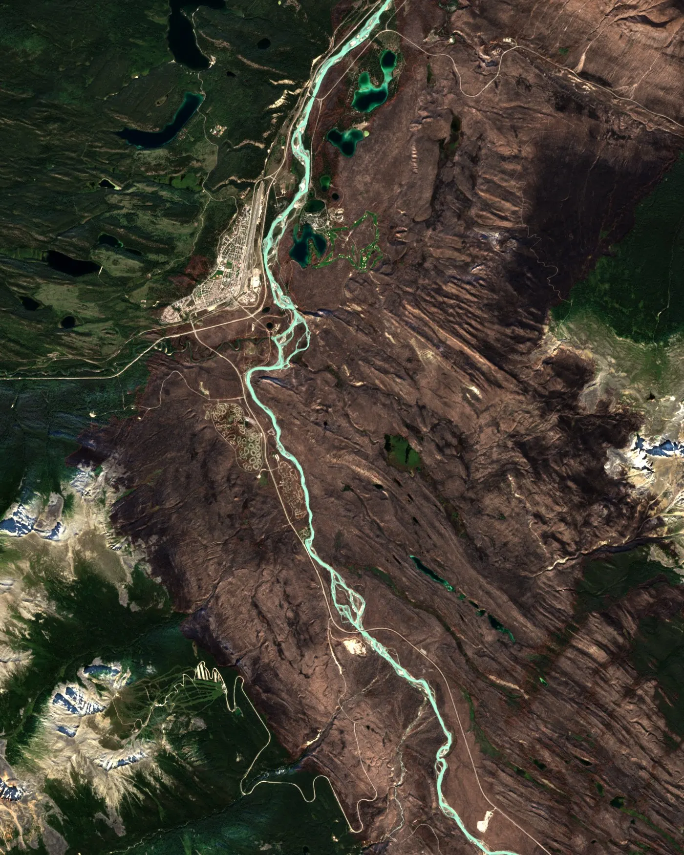
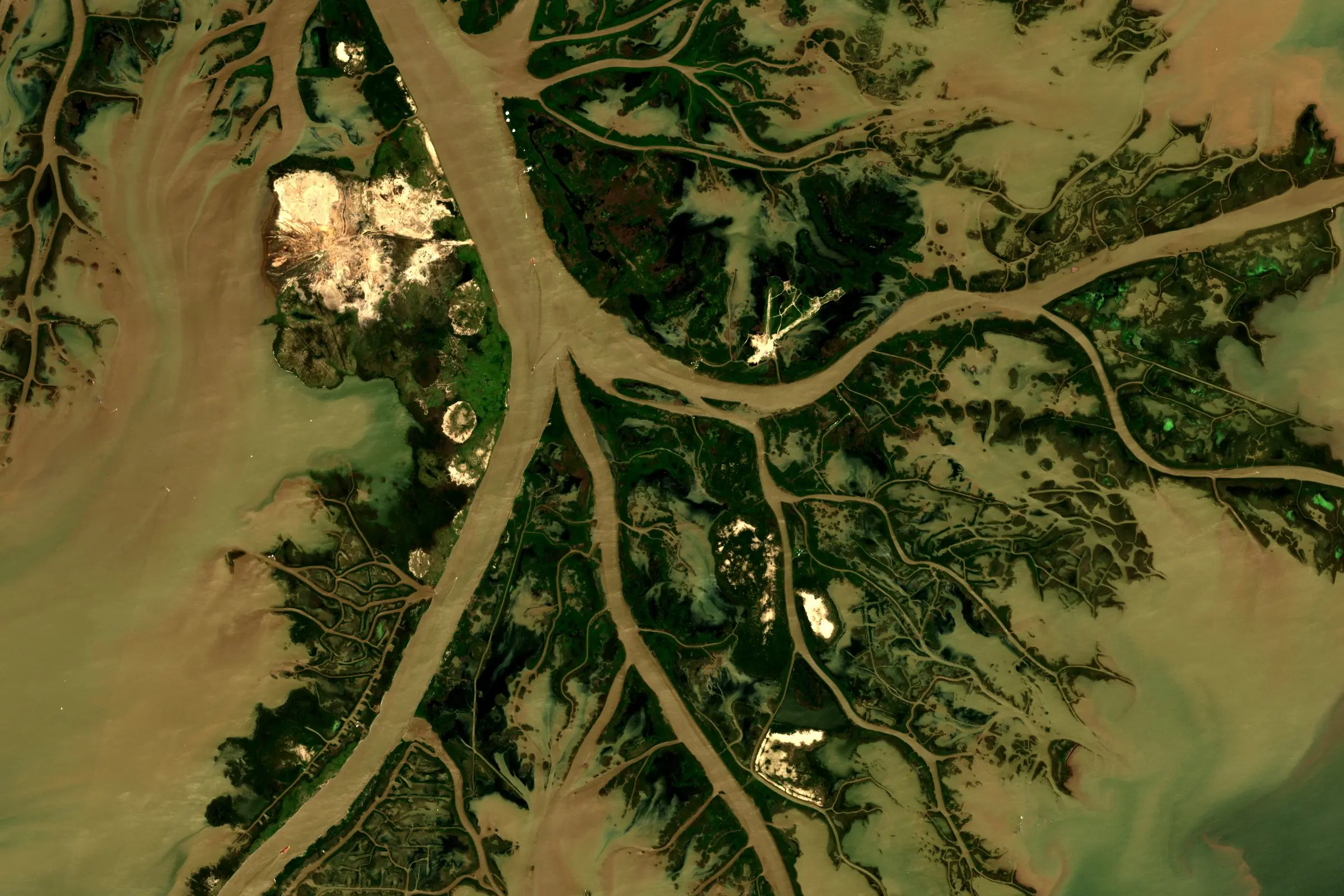
River levels and delta exposure Insurance and infrastructure Imagery contains modified Copernicus Sentinel data 2025/2026.